On the morning of December 30, 1896, a field on the edge of Manila called Bagumbayan was chosen for an execution. The colonial government selected it carefully. It was open, visible, and close to Intramuros — the walled city where Spanish power was concentrated. Executions performed here were public by design. The message was the point.
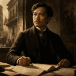
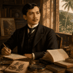
José Rizal was marched across that field under military escort and shot in the back at dawn. The Spanish colonial government intended the moment to mark an ending. Instead it marked a beginning — one that the field itself would eventually be made to remember.
That field is now Rizal Park. And the distance between what it was and what it has become is, in miniature, the story of the Filipino nation.
Before the Park: Bagumbayan
The Spanish named the area Bagumbayan — “new town” — a wide, open expanse outside the walls of Intramuros used for military parades, public spectacles, and, when the colonial government deemed it necessary, executions.
It had seen death before Rizal. In 1872, three Filipino priests — Mariano Gómez, José Burgos, and Jacinto Zamora, known collectively as Gomburza — were garroted here after being implicated in the Cavite Mutiny. Their deaths shook a generation of Filipino reformists. Rizal was eleven years old when they were killed. He dedicated El Filibusterismo to their memory two decades later.
The field accumulated meaning the way all sites of injustice do: slowly, invisibly, until the weight of what happened there becomes impossible to ignore.
The Execution That Transformed the Space
When Rizal fell at Bagumbayan in December 1896, something shifted in how Filipinos related to the ground. People began leaving flowers at the spot where he died. They came to stand there, to be near it, before any monument existed, before any government had thought to commemorate anything. The pilgrimage preceded the memorial by years.
This is worth pausing on. The impulse to sanctify the place came not from the state but from ordinary people who understood, without being told, that something irreversible had happened there. The colonial government had used Bagumbayan to extinguish Filipino aspirations. Filipinos turned it into the opposite — a place where those aspirations were silently renewed.
By 1901, under early American colonial administration, the space was formally renamed Rizal Park. The execution ground became a memorial. The transformation was official, but the emotional work had already been done by the people who had been visiting for years.
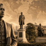
The Monument and What It Holds
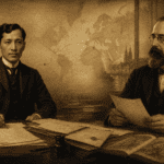
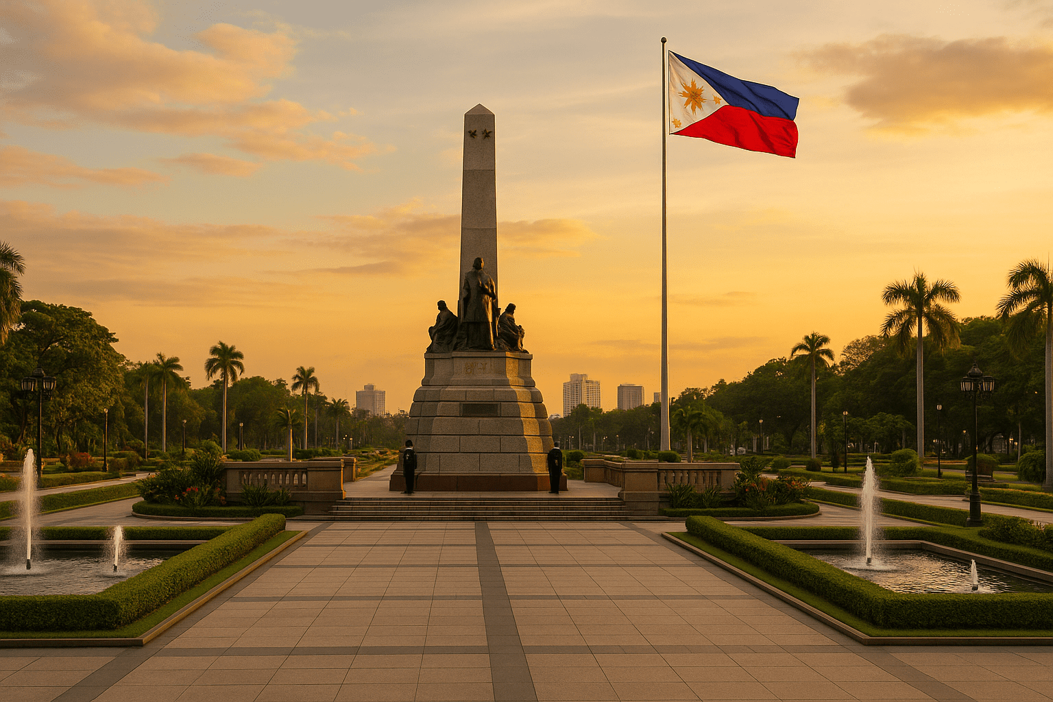
The Rizal Monument at the center of the park was completed in 1913, the result of an international design competition won by Swiss sculptor Richard Kissling. It is deliberately untheatrical — a standing figure, a book in hand, a posture of quiet dignity rather than heroic gesture. Rizal is not posed mid-speech or raising a fist. He is simply present, watching.
Beneath the statue lie his remains, transferred from Paco Cemetery in 1912. The base bears three bronze stars representing Luzon, Visayas, and Mindanao — the three major island groups of the archipelago, a reminder that Rizal’s ideas were not meant for one region or one people but for a nation that was still learning to see itself as one.
Near the monument stands the Kilometer Zero marker, the fixed point from which all road distances across the Philippines are officially measured. Whether intentional or not, the symbolism is difficult to miss: the nation measures itself outward from the place where Rizal is buried.
A Space That Absorbed History
Rizal Park has not simply preserved history. It has continued to make it.
Presidential inaugurations have taken place on these grounds. Political rallies have filled the lawns with hundreds of thousands of people demanding reform or mourning loss. During World War II, Japanese occupation transformed parts of the park into a military zone; liberation transformed it back. Every generation of Filipinos has used the space for its own purposes — celebration, protest, grief, ceremony — and the park has absorbed all of it without becoming fixed to any single meaning.
This is what distinguishes it from a museum or a monument. A museum asks you to observe. Rizal Park asks you to inhabit — to bring yourself into the same space where these things happened and let that proximity do its work.
The Execution Marker
Among the various sculptures and installations in the park, one deserves particular attention. The execution marker — a bronze tableau depicting Rizal’s final moments — is positioned near the spot where he died. It shows soldiers, officers, and Rizal himself in the seconds before the rifles fired.
It is not a comfortable piece of public art. It is not meant to be. Where the main monument invites reflection on Rizal’s life and legacy, the execution marker forces a reckoning with the specific fact of how that life ended: violently, at the order of a government that found his ideas more dangerous than any weapon.
Together, the two sculptures hold the park’s central tension — between the man’s ideas, which endured, and his body, which was destroyed — without resolving it neatly. That unresolved tension is precisely what makes the park honest.
What the Park Has Become
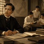
Today Rizal Park is simultaneously a historical site, a civic commons, and an ordinary public green. Schoolchildren gather around the monument for lessons that arrive with more weight here than in any classroom. Joggers circle the paths before sunrise. Families spread out on the lawns on weekend afternoons. Vendors sell food near the gates. The Luneta Lagoon, with its fountain, draws couples in the evenings.
The park’s genius — if a place can have genius — is that it does not enforce a single register. You are not required to be solemn. You can bring your children, eat lunch, watch the fountain. The park holds all of this alongside the history, without the history becoming a burden or the leisure becoming an erasure. They coexist, which is perhaps the most honest thing a memorial can do.
The field where the colonial government once tried to silence Filipino aspirations has become the place where Filipinos gather, freely and on their own terms, to be a public. That transformation is the park’s deepest meaning — and the one most worth remembering.